Innovative, Engaging Teaching
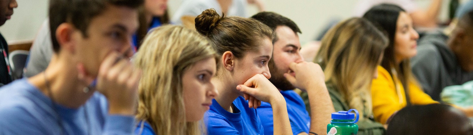
The CRS Affiliate Faculty members are dedicated to providing undergraduate and graduate students with many opportunities to gain new, advanced knowledge and skills in remote sensing, GIS, and AI-enhanced geospatial technologies. We are preparing the next-generation agtech workforce to apply these techniques and technologies for agriculture and natural resources.
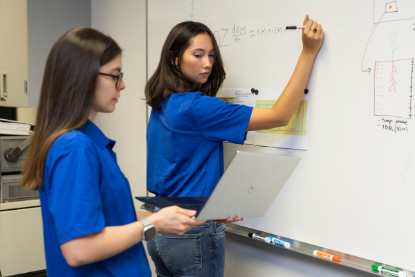
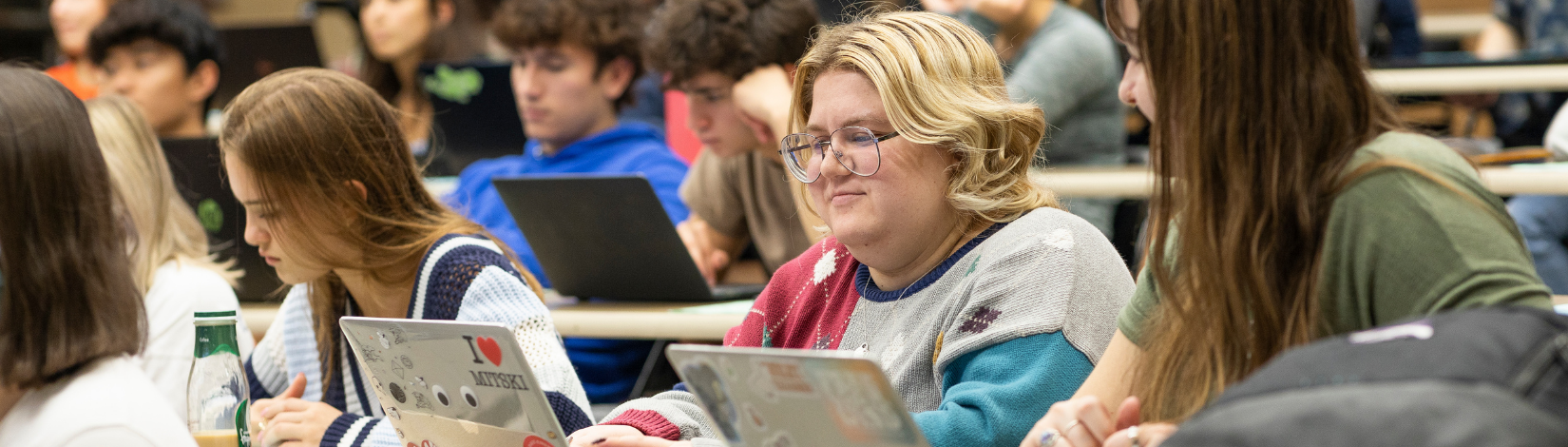
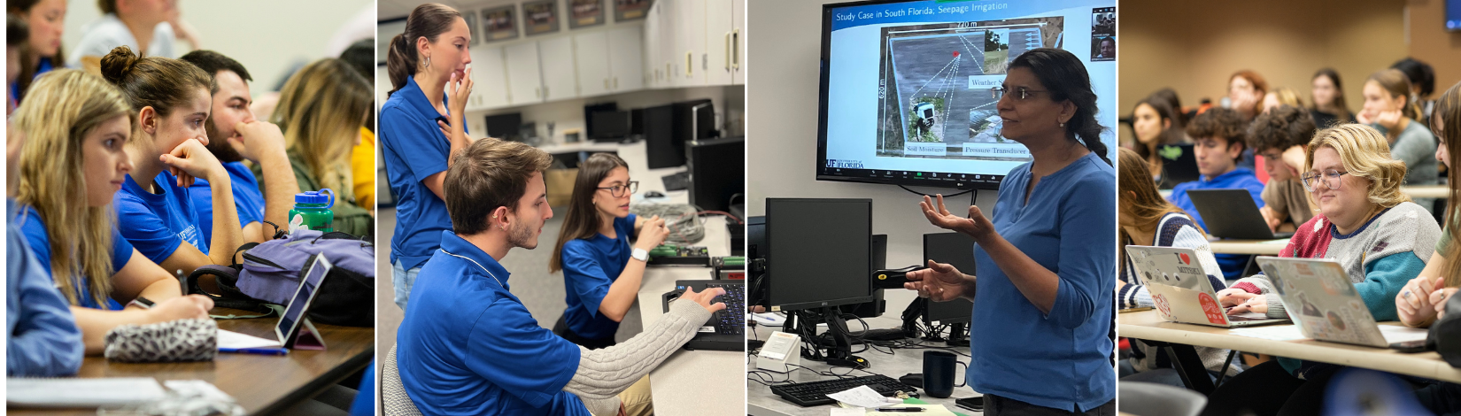
Our faculty members teach a variety of courses for students at UF with in-person and online options. The courses are designed to equip students with a comprehensive set of technical skills. The students learn to understand, process, visualize, analyze, and apply data taken from remote sensing by different platforms, including satellites and drones. Through our courses, they develop a strong foundation for core remote-sensing and geospatial concepts and practical knowledge that is highly sought-after by employers in the public and private sectors.
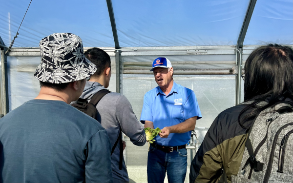
In addition to courses for undergraduate and graduate students, CRS faculty members also teach intensive courses in remote sensing and GIS for practitioners and conduct training workshops for end users. The content of these flexible courses is tailored to the needs of the participants.
At CRS, we understand the importance of keeping up with technological advancements. Faculty regularly incorporate their research findings in the courses. Our courses and training workshops are adapted to the shift from desktop-focused to cloud-based, open-science applications. Our research-driven modern approach to teaching allows our students to be at the forefront of remote sensing.