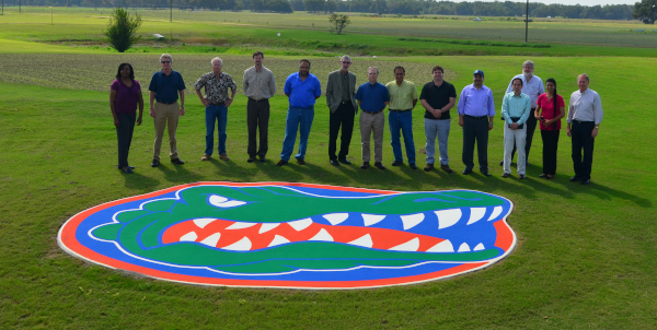


About the Center
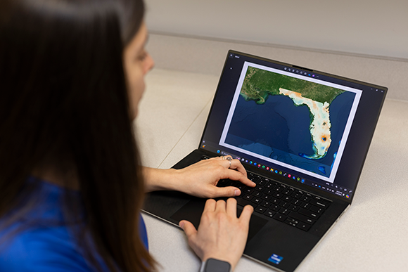
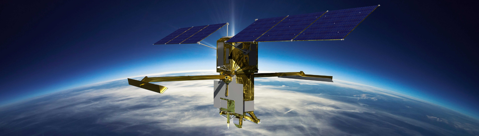
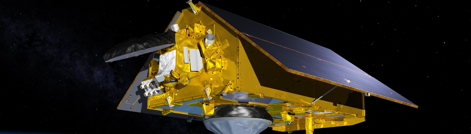
The UF/IFAS Center for Remote Sensing (CRS) is a multidisciplinary center using state-of-the-art remote sensing and geospatial AI technologies to tackle complex challenges in agriculture and natural resources. We use satellite, airborne, and ground-based datasets and conduct field experiments to develop and test innovative algorithms and machine-learning-based models, which in turn tackle real-world challenges in agriculture and water resources management. Our research provides actionable insights and recommendations to practitioners and decision-makers.
Through interdisciplinary research, education, and Extension programs, CRS aims to address the most pressing needs related to agriculture, food security, water resources management, climate impacts on water resources, and sustainable development.
Focus Areas
- To develop remote sensing and AI algorithms to improve management of water, nutrients, and near-real-time prediction of crop conditions and yield.
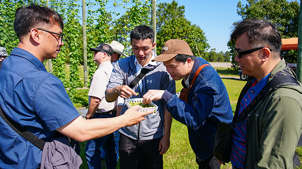
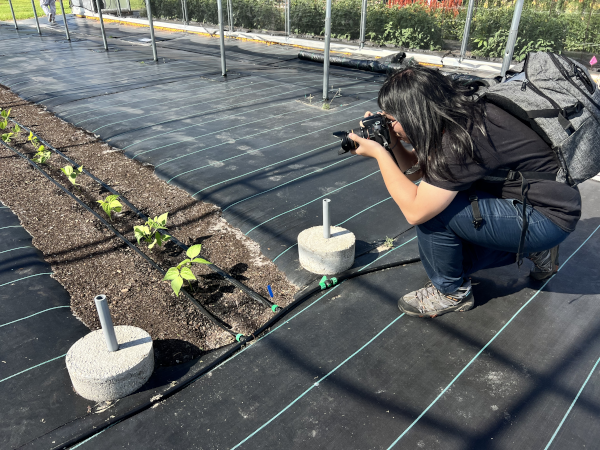
- To develop ground-based, airborne, and satellite-based remote sensing systems for agriculture and natural resources applications.
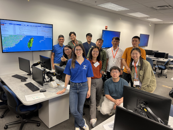
- To engage stakeholders and train the next-generation ag-tech workforce in utilizing remote sensing and geospatial AI technologies in agriculture and natural resources.