

Remote Sensing and GIS Intensive Course
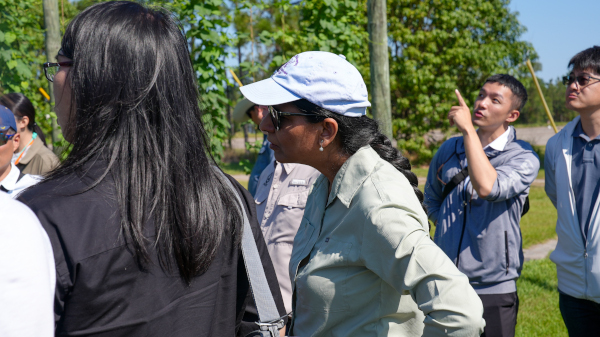
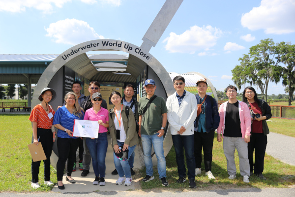
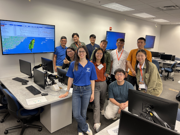
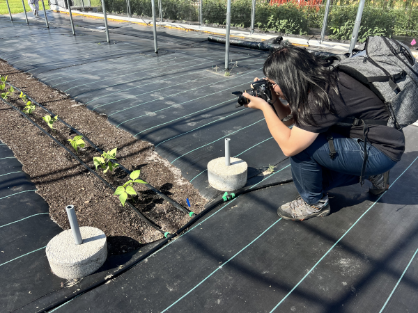
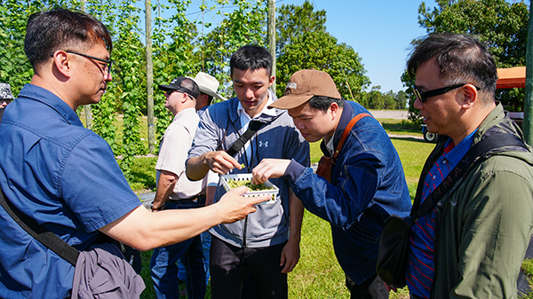
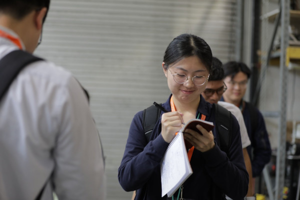
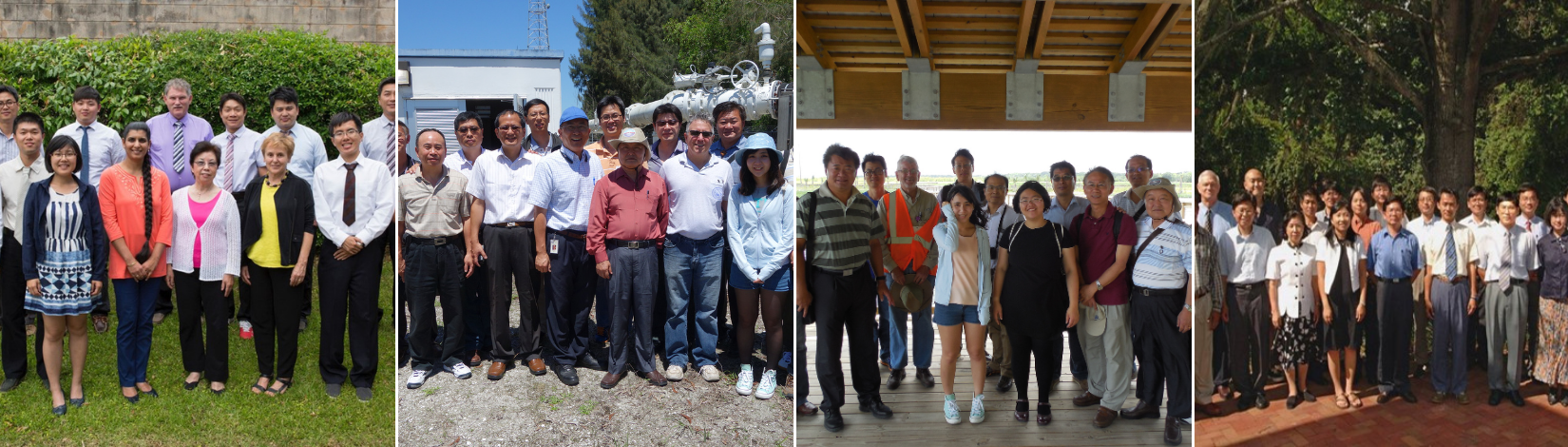
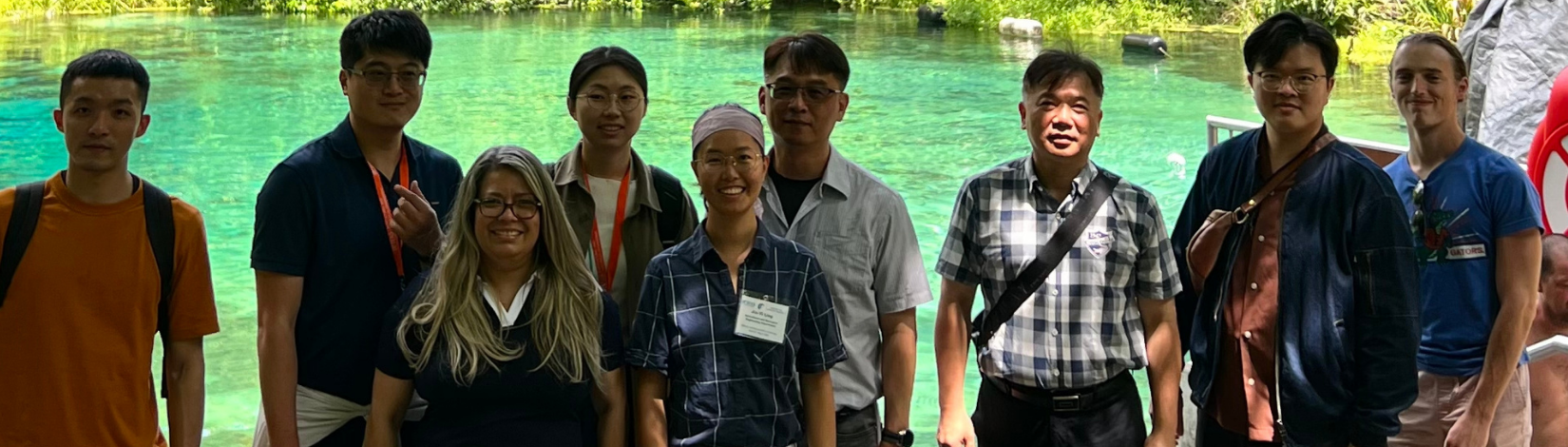
This two- to four-week course is taught annually to professionals from various water resource management agencies, irrigation associations, and graduate students from Taiwan. This immersive educational program is designed to provide participants with hands-on experience and in-depth knowledge of remote sensing and GIS specifically tailored to water management in agriculture, such as climate-smart irrigation, precision agriculture, robotics, and automated management systems. The program includes lectures, hands-on practical exercises, tours and demonstrations of state-of-the-art laboratory facilities at UF, field trips to water management districts, environmental agencies, UF/IFAS Research and Education Centers (RECs), and guided tours of hydro-geologically unique sites across Florida.
In addition to providing participants with invaluable exposure and insights into cutting-edge remote-sensing and GIS techniques, the course also fosters knowledge-exchanges and collaborations with operational applications in agriculture.
Through this annual program, the CRS reaffirms its dedication to bilateral cooperation, addressing major challenges in global agriculture, irrigation, and sustainable water resources management.