


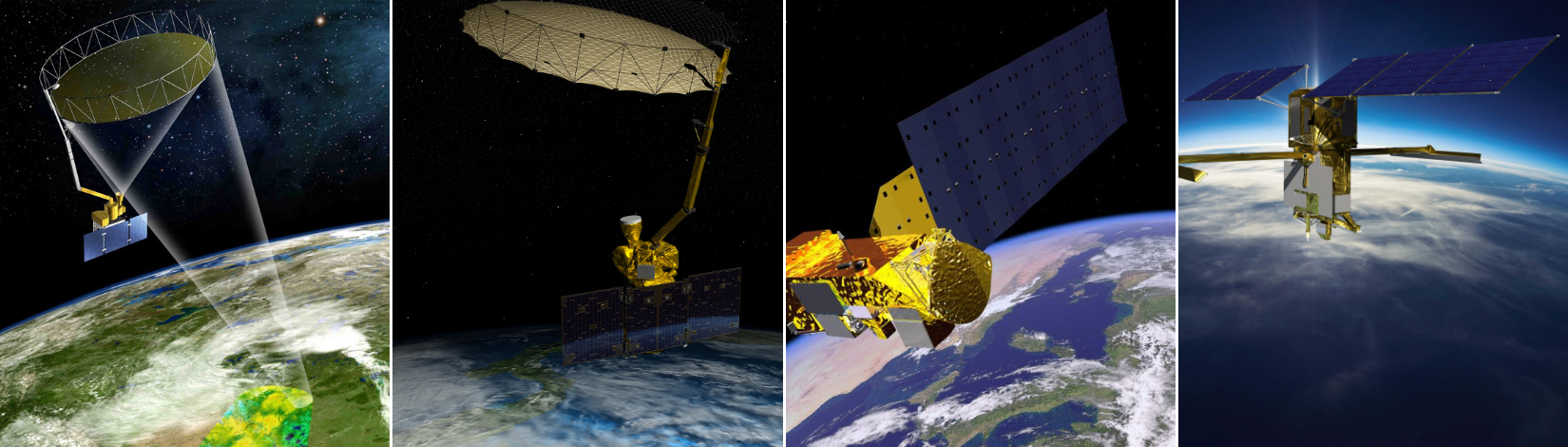
Remote Sensing Data and Tools
Remote sensing is a technology that collects data without physical contact using sensors to measure different forms of energy emitted, reflected, or scattered by objects on Earth's surface. With the numerous sensors and platforms available for remote sensing, it can be daunting to navigate through all the information.
On this page, you'll find a carefully selected compilation of free and reliable data repositories, tools and resources. This list is a great starting point for exploring free, open-access Earth Observation data sources and eventually developing your own list of favorite tools and sources.
- NASA’s extensive collection of open-access remote sensing data from various space agencies, including NOAA (National Oceanic and Atmospheric Administration), ESA (European Space Agency), JAXA (Japan Aerospace Exploration Agency), and ISRO (Indian Space Research Organization). It offers data from numerous satellite missions, including MODIS, SMAP, and GPM.
AGU - Remote Sensing products for hydrology
- A guide to key remote sensing datasets for hydrology curated by the AGU Remote Sensing Technical Committee. This evolving, community-driven resource is designed to help both scientists and practitioners to quickly find and compare remote sensing products relevant to the hydrological cycle.
- Powerful online platform that allows you to download satellite images, aerial photos, remote sensing and geospatial data. You can define your search area by entering an address or coordinates or using the interactive map. EarthExplorer offers access to various remote sensing datasets, including Landsat satellite imagery, Radar data, UAS data, digital elevation models, and more.
- Provides daily, weekly, and monthly images captured by various NASA satellites, such as Terra and Aqua. You can access a wealth of information on climate change, natural disasters, and global ecosystems. The platform is easy to use, making it ideal for beginners in remote sensing.
Copernicus Data Space Ecosystem
- Offers a wide range of Earth observation data from the Copernicus Sentinel satellites. You can explore and engage with satellite imagery using the user-friendly Copernicus Browser, which allows easy data discovery, visualization, and download.
MODIS (Moderate Resolution Imaging Spectroradiometer)
- Satellite-based sensor used for observing and measuring various aspects of the Earth and its climate. It's equipped on both the Terra and Aqua satellites.Terra MODIS and Aqua MODIS view the entire Earth's surface every 1 to 2 days.
LANCE: NASA Near Real-Time Data and Imagery
- Near real-time (NRT) data and imagery from NASA’s Earth Observing System. It supports users interested in monitoring a wide variety of natural and human-created phenomena made available much quicker than routine processing allows.
USGS Global Visualization Viewer (GloVis)
- An easy-to-use platform for browsing and downloading remote sensing data.
Application for Extracting and Exploring Analysis Ready Samples (AρρEEARS)
- Online tool designed to simplify the process of accessing and utilizing large geospatial datasets from a variety of federal data repositories. It allows you to extract specific geospatial data subsets using spatial, temporal, and band/layer parameters.
Geostationary Operational Environmental Satellites (GOES)
- A collaborative NOAA and NASA program provides continuous imagery and data on atmospheric conditions and solar activity (space weather). The GOES-R Series provides critical atmospheric, hydrologic, oceanic, climatic, solar, and space data. GOES Image Viewer.
Goddard Earth Sciences Data and Information Services Center (GES DISC)
- It's a division of NASA's Goddard Space Flight Center (GSFC) dedicated to providing access to a vast array of Earth science digital data from Atmospheric Infrared Sounder (AIRS), Advanced Microwave Scanning Radiometer (AMSR-2), Moderate Resolution Imaging Spectroradiometer (MODIS), Global Land Data Assimilation System (GLDAS), Global Precipitation Measurement Mission (GPM), Ocean Color and Temperature Sensor (OCTS), Sea-viewing Wide Field-of-view Sensor (SEAWIFS), Surface Solar Irradiance (SSI) data, Tropical Rainfall Measuring Mission (TRMM), and more.
- Geophysical, oceans, coastal, weather, and climate data.
NOAA's National Environmental Satellite, Data and Information Service (NESDIS)
- Provide secure and timely access to global environmental data and information from satellites and other sources.
- Cross-agency collaborative effort and shared service that provides federal geospatial data, applications, and tools.
The National Science Foundation's National Ecological Observatory Network (NEON)
- Large-scale ecological research platform funded by the National Science Foundation (NSF). It's designed to collect long-term, open-access ecological data.
NASA Global Climate Change Program Missions page
- Provides a comprehensive overview of the various satellite missions, with detailed information about each mission, its objectives, instruments, and data products.
Global Ecosystem Dynamics Investigation (GEDI)
- High-resolution laser observations of global forests and topography with a mission to answer how deforestation is contributing to climate change.
GIS Data
Florida's Geospatial Open Data
- Free access to geospatial data from multiple State Agencies in various formats (CSV, KML, ESRI Shapefile, GeoJSON, File Geodatabases).
Florida Department of Environmental Protection Geospatial Open Data
- Free access to geospatial data related to environmental projects and programs.
- A compilation of data sources provided by the United Nations' Food and Agriculture Organization.
Geospatial Resources
- A free, open-source GIS platform for creating, editing, analyzing, and visualizing spatial data using built-in capabilities and add-on plug-ins.
- Software provided by Google that ties satellite data together into one system. The platform pulls data from NOAA, NASA, the U.S. Navy, the Copernicus program, and more and allows on-the-fly visualization of points, lines, and polygons in a free, web-based user interface.
- Premier geospatial software offered by Esri (and the successor to ArcGIS Desktop). The interface allows users to explore databases, import files, and access toolboxes and ribbons to develop complex spatial analysis and cartographic products. While ArcGIS is the leading geospatial software, an individual license is expensive.