


Outreach and Extension
Our outreach and Extension activities include intensive courses designed in close collaboration with local and international partners. We don’t just talk remote sensing and GIS - we put them into action! We bring the power of remote sensing and AI-enhanced geospatial expertise directly to local governmental agencies, communities, and farmers. Participants gain practical skills in analyzing satellite images and geospatial data and learn to integrate remote sensing and suitability analysis models into their land use planning. These activities empower local communities as we equip them with the essential knowledge and tools to make informed decisions about agriculture and other land uses. The target audience of our outreach and Extension activities is organizations interested in integrating Earth observations to enhance their environmental decision-making and action, including federal agencies, state and local governments, non-profits, and others.
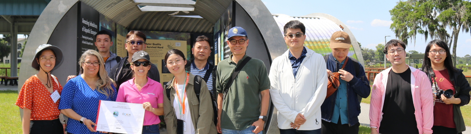
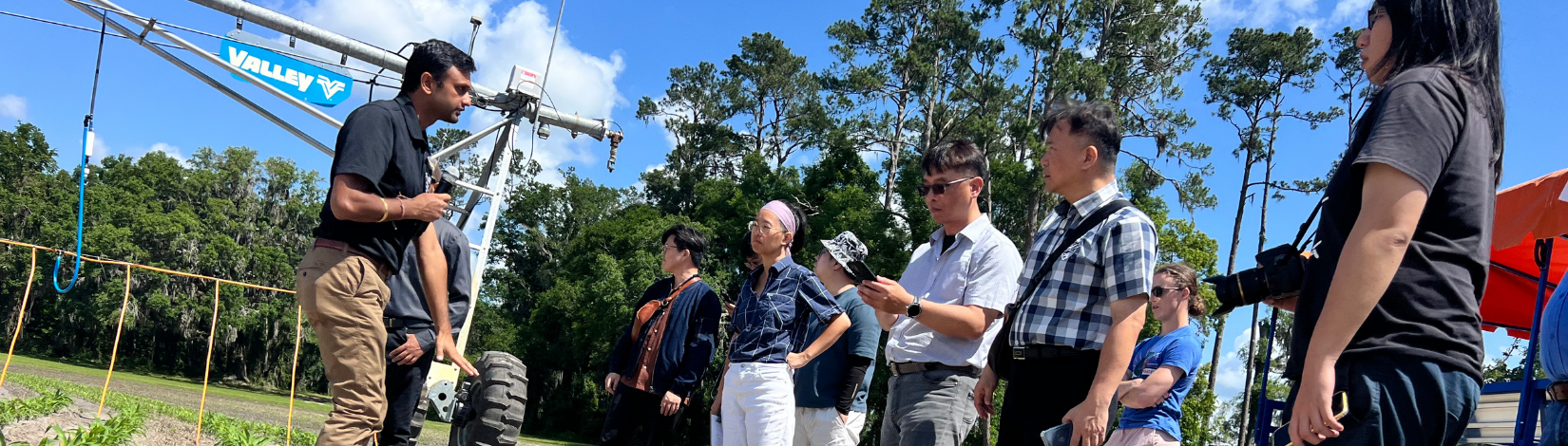
Extension Activities
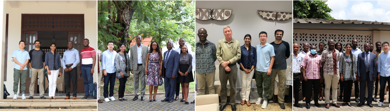
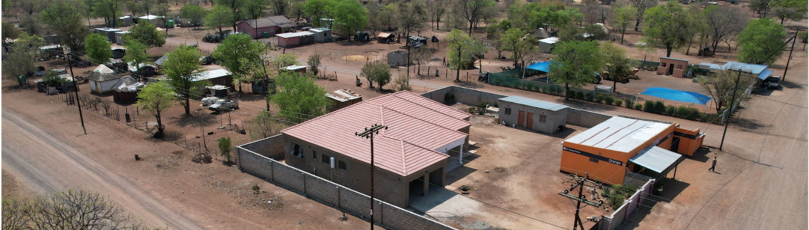
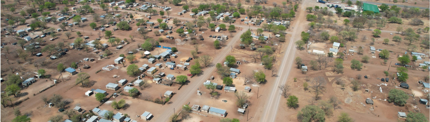
NASA SERVIR - GALUP
Researchers at the University of Florida (UF) are working with a team of collaborators from the Centre for Remote Sensing and Geographic Information Services (CERSGIS) in Ghana, and the University of Ghana to link deforestation, urbanization, and agricultural expansion for land-use decisions in Ghana.