

To be the premier Center for comprehensive remote sensing research, education, and outreach/extension in the world.
To advance the science, technology, and applications of remote sensing by facilitating interdisciplinary collaborations.
At the Center for Remote Sensing, our core values guide everything we do. We are committed to excellence in research and education, fostering a collaborative and innovative environment to push the boundaries of remote sensing knowledge. We believe in openness and accessibility and embrace open science. Ultimately, we strive to use remote sensing and GIS for the greater good, tackling global challenges in agriculture and natural resources and creating a more sustainable future for our planet.
We believe in teamwork and foster interdisciplinary research collaborations across natural and social sciences to amplify our scientific and practical research impact. We collaborate with diverse faculty, communities, and organizations. Our research is grounded in shared benefit.
We pioneer advances in satellite remote sensing, free, open-source geospatial AI, and machine learning tools. We develop innovative and robust methods for automated information extraction from satellite data using machine learning (ML) and artificial intelligence (AI) techniques.
We employ computational advances to assimilate heterogeneous data into practical knowledge. We integrate data by fusing radar, thermal, hyperspectral imagery, socioeconomic, and field data to strengthen insights and solve problems related to agricultural production and environmental and hydrological challenges of state, national, and global significance.
We foster a community of knowledge exchange and collective learning. We train students and practitioners to use diverse remote sensing platforms, GIS, and AI tools to harness the immense potential of satellite data to advance agriculture and water resources monitoring and management.
We embrace open-source science to broaden participation and enable reproducibility by other research teams. This commitment involves sharing data, scripts, and knowledge (including algorithms, papers, and field experiment documentation).
We promote open and inclusive science aligned with UF/IFAS's mission to advance knowledge relevant to agriculture, human, and natural resources. We make this knowledge widely available by mentoring students from diverse backgrounds and performing outreach with water resources managers, farmers, communities, and the general public.
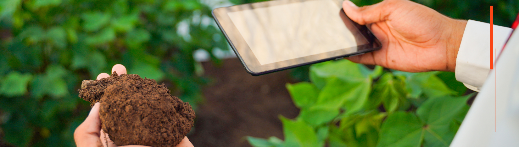
We use remotely sensed observations from ground-based and satellite-based sensors. We conduct intensive field experiments to develop and test our models. Our research offers various products used in remote sensing applications of global significance, with a focus on agriculture and natural resources.
We are driven to solve real-world hydrological and water management problems in agriculture and approach every research project with enthusiasm and energy.
We strive to improve agricultural production and conserve natural resources through cutting-edge research and the practical application of remote sensing, GIS, and AI-related technologies. We use multi-sensor data fusion techniques and stay at the forefront of remote sensing research, focusing on agriculture and hydrology applications.
We use satellite data and geospatial AI technologies to empower communities to better understand their changing environments, tell their own stories, and take action to protect and manage natural resources.
We conduct ourselves with integrity, expertise, and a focus on conducting exceptional interdisciplinary remote sensing-based research, teaching, and extension programs.
We work closely with important partners like NASA, USAID, universities, local governments, environmental agencies, and NGOs. Our focus is on equipping local land use planners and communities with actionable insights, enabling them to address agriculture and natural resources management challenges.