The impact of spatial resolution on predicting hydrology and ecological responses in the A.R.M. Loxahatchee National Wildlife Refuge, FL
CollaboratorsIan Hahus (Graduate student), Kati W. Migliaccio, Rafael Muñoz-Carpena, Greg Kiker, David Kaplan, Matt Cohen, Kyle Mankin, Donatto Surratt, Barclay Shoemaker
Time frame August 2014 to July 2018
Summary
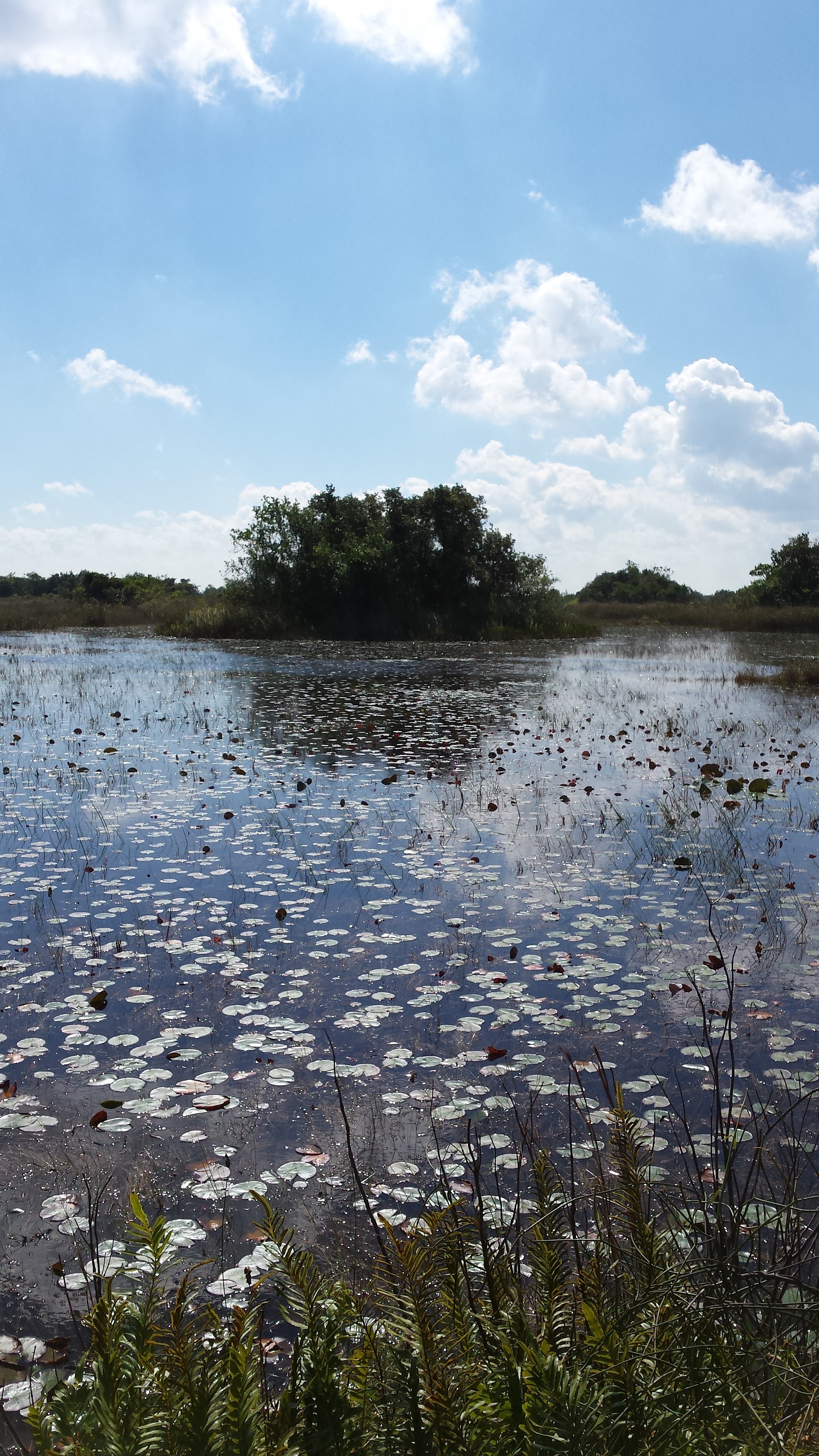
This project will be in collaboration with colleagues from US Fish and Wildlife and the United States Geological Survey to develop a hydrological model to inform management of Water Conservation Area 1 (WCA 1), located within the Loxahatchee National Wildlife Refuge in Palm Beach County, Florida. This model will account for the hydrological and ecological considerations relevant to the Refuge through the completion of the following objectives:
- To select, scale, and/or combine quantitative and qualitative spatially varying and time varying characteristics of WCA 1 to delineate the wetland into discrete hydrologic compartments using cluster analysis techniques.
- To format and discretize a compartmental hydrologic model to inform management decisions based on competing objectives.
- To quantify how model discretization and uncertainties in measurement and prediction affect the output of the hydrologic model, and how these impacts can be presented to model users.
- To use ecological indices to discriminate among water management options based on spatially and temporally varying objectives.
Expected outcomes
Providing the managers of this wetland with a hydrological and ecological model specifically calibrated for their system will give them the ability to recommend informed decisions regarding water scheduling, including water supply and habitat preservation.
Successful implementation of this model could potentially impact the future water management for this wetland. This would not only impact the water quality and ecosystem health within the Refuge itself, but also throughout the Greater Everglades Basin located downstream.
The use of a simplified, flexible gridded model will help determine the impact of spatial resolution on predictions of ecological health, as well as help scientists and modelers determine which data are necessary to improve the accuracy of landscape models.
Loxahatchee ET poster pdf
Loxahatchee poster pdf